Description
- A popular trail leading through alpine meadows to the summit of Mount Cheam, a prominent peak towering over the eastern Fraser Valley.
Statistics
|
|
Directions
Update July 24 2009
GPS distance from vedder Mtn Rd and chilliwack lake Rd to Foley FSR is 26.7km
Follow Highway #1 (Trans-Canada Highway) to Chilliwack, taking Exit #119 South. Follow Vedder Road until a three-way stop just before a bridge over the Vedder River. Zero your odometer here and turn left at the stop sign onto Chilliwack Lake Road. At the 26 km mark, immediately after passing the Ford Mountain Correctional Center and after one of the Vedder River bridge crossings. Turn left onto Chilliwack-Foley Forest Service Road. Zero your odometer again here.
Follow the forest service road for 2.0 km, turning left at the T-junction after the bridge over Foley Creek. Travel west for another two kilometers, turning right on to Chipmunk Creek Forest Service Road next to a large gravel pit. Continue to the parking area at the Mount Cheam trailhead, ignoring all of the branch roads and following the most obvious track the entire way.
Although the occasional beat up car has been known to make it to the trailhead, a 4×4 vehicle is strongly recommended. The road is extremely rough – it’s not uncommon to see 2-wheel drive trucks stopped on the side of the road, the owners with confused looks on their faces as they wonder how they can make it to the top.
Details
At the above starting elevation, there is a large parking area and a barricade, so travel on foot must begin at this point.
Continue along the old road, and in roughly 20 minutes, you’ll begin on the actual trail, which drops down roughly 50 metres into a lovely subalpine bowl, complete with a swimming hole.
The trail cuts along the side of this bowl, and then begins ascending the west face of Lady Peak, and eventually gains a col between Lady and Cheam Peaks.
The trail now begins rising and switching back and forth along the SouthWest face of Cheam, until the summit is achieved.
Allow a good 4 hours return time from the parking lot to the summit and back.
* Large parking area
* Log across one end, blocking ATV access
* Climb over, and follow the old road – now used only as a trail
* At the end of the old road, the trail starts and heads through some small stunted trees before descending into the valley (lower basin)
* Leads across a small creek and to the edge of Spoon Lake
* Past Spoon Lake, climbs the meadowy hillside – wildflowers/etc
* Sections of trees in between longer sections of meadows.
* Eventually reaches upper basin and tarn.
* Nice spots to rest by the tarn, some people camp here although this is unofficial and not recommended due to the popularity of the area and lack of facilities (read: outhouses).
* Short side trail leads to a viewpoint over Wahleach Lake.
* Past the upper basin the trail switchbacks uphill, eventually becoming rockier as it ascends.
* An unexposed rocky section near the top causes a bit of grief for some less experienced hikers
* Past the rocky section the trail becomes talus, turns right and leads up the talus slope to the summit. The talus slope is exposed but wide – a slip here would mean a fall to the bottom of the mountain. Still, it’s relatively safe – but if you feel wobbly it’s better to rest before heading up the final 100 meters.
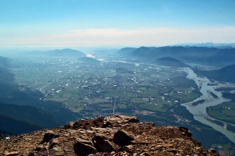
* The summit has lots of room to sit and great views.
* A side trail just before the summit is the Mount Cheam Ridge Trail, and leads past a small rock shelter.
Guest sign-up
Sign-ups are no longer available for this event.